
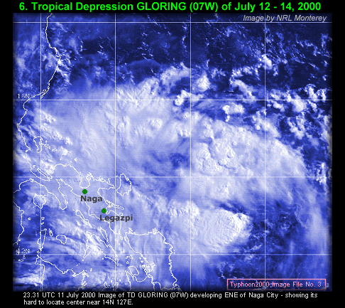
Trop Depression GLORING (07W)
July 12 - 14
Max. Sustained Winds: 55 kph (30 kts.)
Pressure: 1000 mb.
[Data: PAGASA /JTWC |Track|Summary|Cool Movie]
July 21 - 25
Max. Sustained Winds: 95 kph (50 kts.)
Pressure: 980 mb.
[Data: PAGASA /JTWC |Track|Summary|Cool Movie]
August 19 - 23
Max. Sustained Winds: 260 kph (140 kts.)
Pressure: 915 mb.
[Data: PAGASA /JTWC |Track|Summary|Cool Movie|
Animations: Taiwan Radar|Extra Image]
August 25 - 29
Max. Sustained Winds: 160 kph (85 kts.)
Pressure: 965 mb.
[Data: PAGASA /JTWC |Track|Summary|Cool Movie]
September 02 - 04 & 05 - 07
Max. Sustained Winds: 175 kph (95 kts.)
Pressure: 955 mb.
[Data: PAGASA /JTWC |Track|Summary|Cool Movie]

[Notes: Maximum Sustained Winds based on 1-Min. Average (JTWC) / Pressure by JMA / Thumbnail images courtesy of NOAA-OSEI & NRL Monterey / STY BILIS' Radar Images courtesy of Central Weather Bureau, Taiwan]


Last Updated: Saturday, 24 March 2001
Naga City, Philippines
All Rights Reserved.
| HOME | 2000 SEASON | NAMES | OBSERVATIONS | ARCHIVES | INFORMATION | LINKS |